VLAAMS INSTITUUT VOOR DE ZEE
PLATFORM VOOR MARIEN ONDERZOEK

The expeditionThe expedition started on 13 June 2006 (08.00) in Brest (France) and ended on 20 June 2006 (16.00) in Cork (Ireland). Follow the research vessel 'BELGICA' online at BELGICA ODAS DATA. Daily reports on the activities on board are available in our log book.Responsible scientists: Prof. Dr. J.-P. HENRIET, Dr. D. VAN ROOIJ |
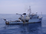 BELGICA |
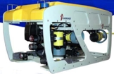 Cherokee ROV (Remotely Operated Vehicle) |
Within the framework of the EC IP FP6 HERMES project, RCMG tested for the first time its ROV on several coral-rich sites along the Celtic Margin (Area 1) and the Porcupine Basin (Area 2). The La Chapelle Bank (Celtic Margin) and adjacent canyons were earlier recognized by Zibrowius and Le Danois as a “hotspot” of deep-water corals. In the Porcupine Basin, Thérèse mound as well as the Moira mounds are revisited for an extra visual reconnaissance. Also the recently drilling IODP expedition 307 sites will be revisited for additional high-resolution seismic profiling. |
You may download the technical details of our ROV: Cherokee and the ROV Tether Management System (TMS) (the ROV's garage) here.
This campaign was executed in cooperation with the department DRO-DEEP/LEP of IFREMER (France), University College Cork (Ireland) and the National Oceanography Centre Southampton (United Kingdom).
This campaign focussed on the following topics:
The two study areas are located on respectively the Celtic Margin and the Porcupine Seabight, at water depths between 250 and 1000 m depth.
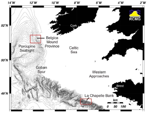
Study area 1 and 2
Operations:
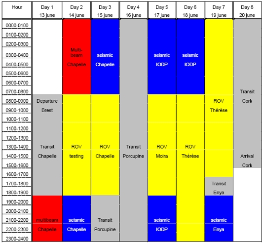
Planning schedule
Download full cruise report (PDF).