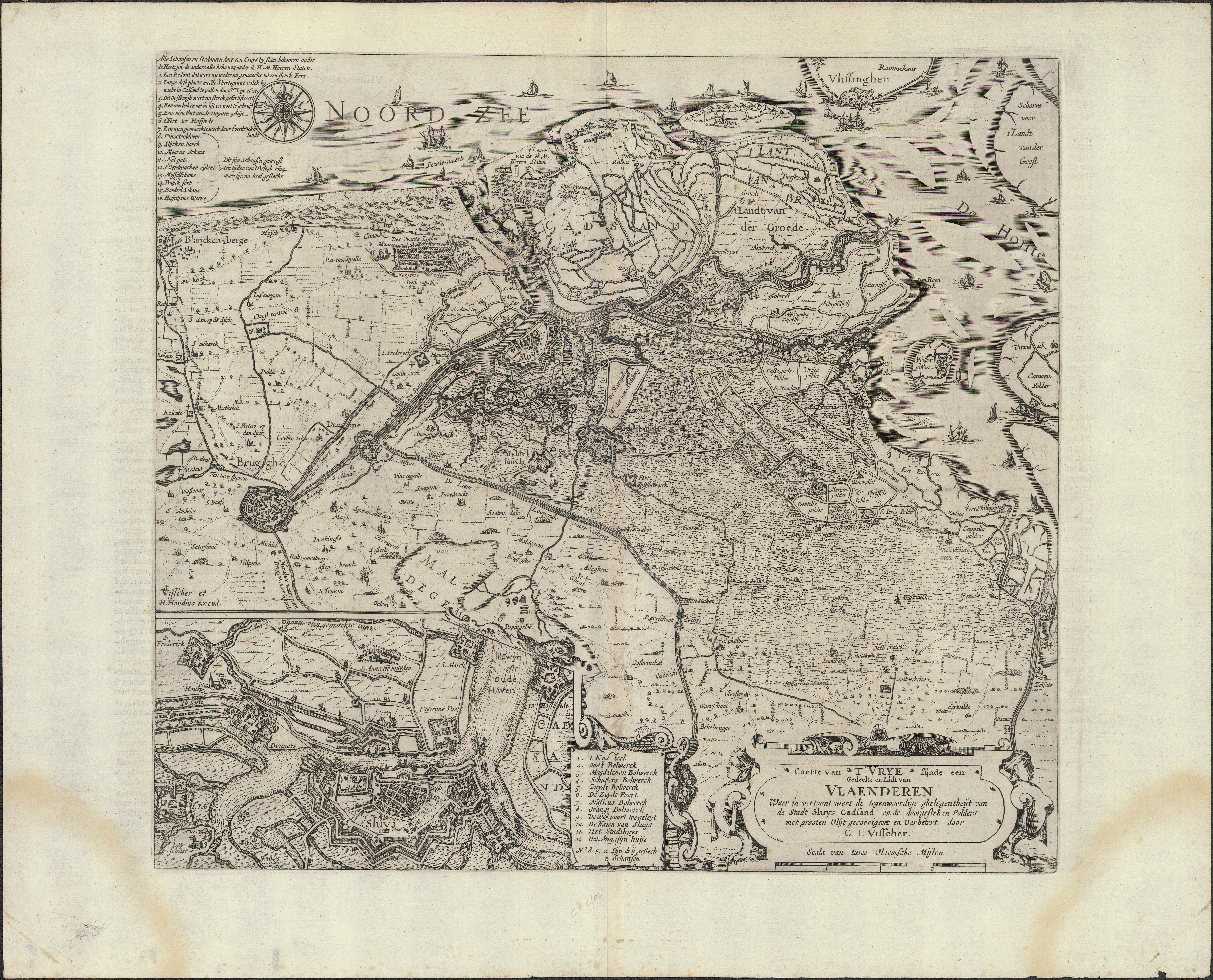
Caerte van t'Vrye sijnde een gedeelte en lidt van Vlaenderen waer in vertoont wert de tegenwoordige ghelegentheijt van de stadt Sluys Cadsand en de doorgesteken polders met grooten vlijt gecorrigeert en verbetert (1622)
JPG file - 17.49 MB - 6 679 x 5 396 pixels
Extra information
FileName: 111617.jpg
FileDateTime: 1456502614
FileSize: 17493080
FileType: 2
MimeType: image/jpeg
SectionsFound: ANY_TAG, IFD0, THUMBNAIL, EXIF
COMPUTED.html: width="6679" height="5396"
COMPUTED.Height: 5396
COMPUTED.Width: 6679
COMPUTED.IsColor: 1
COMPUTED.ByteOrderMotorola: 0
COMPUTED.Thumbnail.FileType: 2
COMPUTED.Thumbnail.MimeType: image/jpeg
ImageWidth: 6793
ImageLength: 5505
BitsPerSample.0: 8
BitsPerSample.1: 8
BitsPerSample.2: 8
Compression: 1
PhotometricInterpretation: 2
Make: ProServ GmbH
Model: ScannTECH 601i-fb/ms
Orientation: 1
SamplesPerPixel: 3
XResolution: 3000000/10000
YResolution: 3000000/10000
PlanarConfiguration: 1
ResolutionUnit: 2
Software: Adobe Photoshop CC (Windows)
DateTime: 2015:08:24 13:36:58
Artist: Business Graphics Datentechnik GmbH
Exif_IFD_Pointer: 360
ColorSpace: 65535
ExifImageWidth: 6679
ExifImageLength: 5396