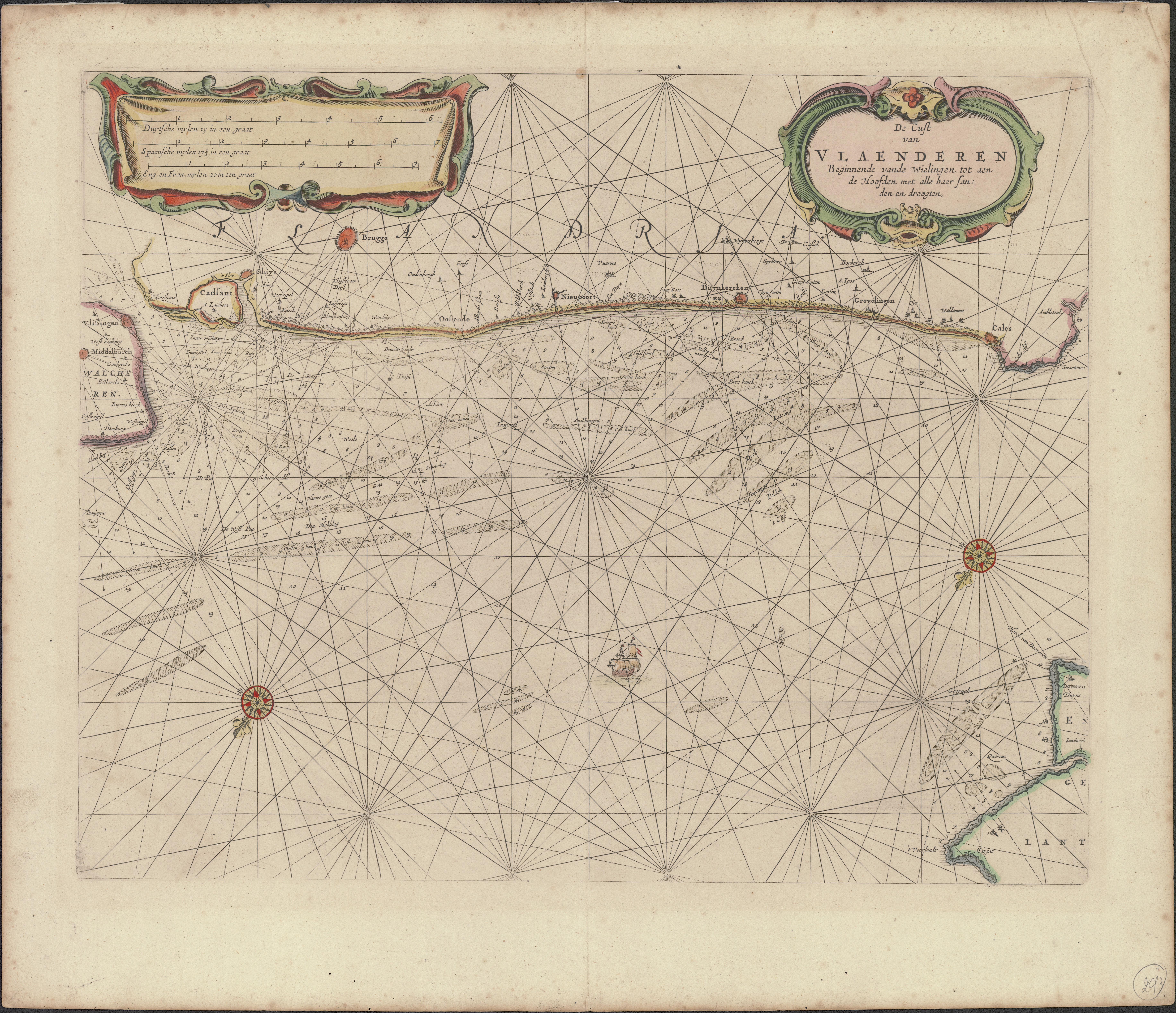
De cust van Vlaenderen beginnende vande Wielingen tot aen de Hoofden met alle haer sanden en droogten
JPG file - 14.40 MB - 7 329 x 6 315 pixels
Extra information
FileName: 111639.jpg
FileDateTime: 1456502672
FileSize: 14397768
FileType: 2
MimeType: image/jpeg
SectionsFound: ANY_TAG, IFD0, THUMBNAIL, EXIF
COMPUTED.html: width="7329" height="6315"
COMPUTED.Height: 6315
COMPUTED.Width: 7329
COMPUTED.IsColor: 1
COMPUTED.ByteOrderMotorola: 0
COMPUTED.Thumbnail.FileType: 2
COMPUTED.Thumbnail.MimeType: image/jpeg
ImageWidth: 7463
ImageLength: 6435
BitsPerSample.0: 8
BitsPerSample.1: 8
BitsPerSample.2: 8
Compression: 1
PhotometricInterpretation: 2
Make: ProServ GmbH
Model: ScannTECH 601i-fb/ms
Orientation: 1
SamplesPerPixel: 3
XResolution: 3000000/10000
YResolution: 3000000/10000
PlanarConfiguration: 1
ResolutionUnit: 2
Software: Adobe Photoshop CC (Windows)
DateTime: 2015:08:24 13:47:54
Artist: Business Graphics Datentechnik GmbH
Exif_IFD_Pointer: 360
ColorSpace: 65535
ExifImageWidth: 7329
ExifImageLength: 6315