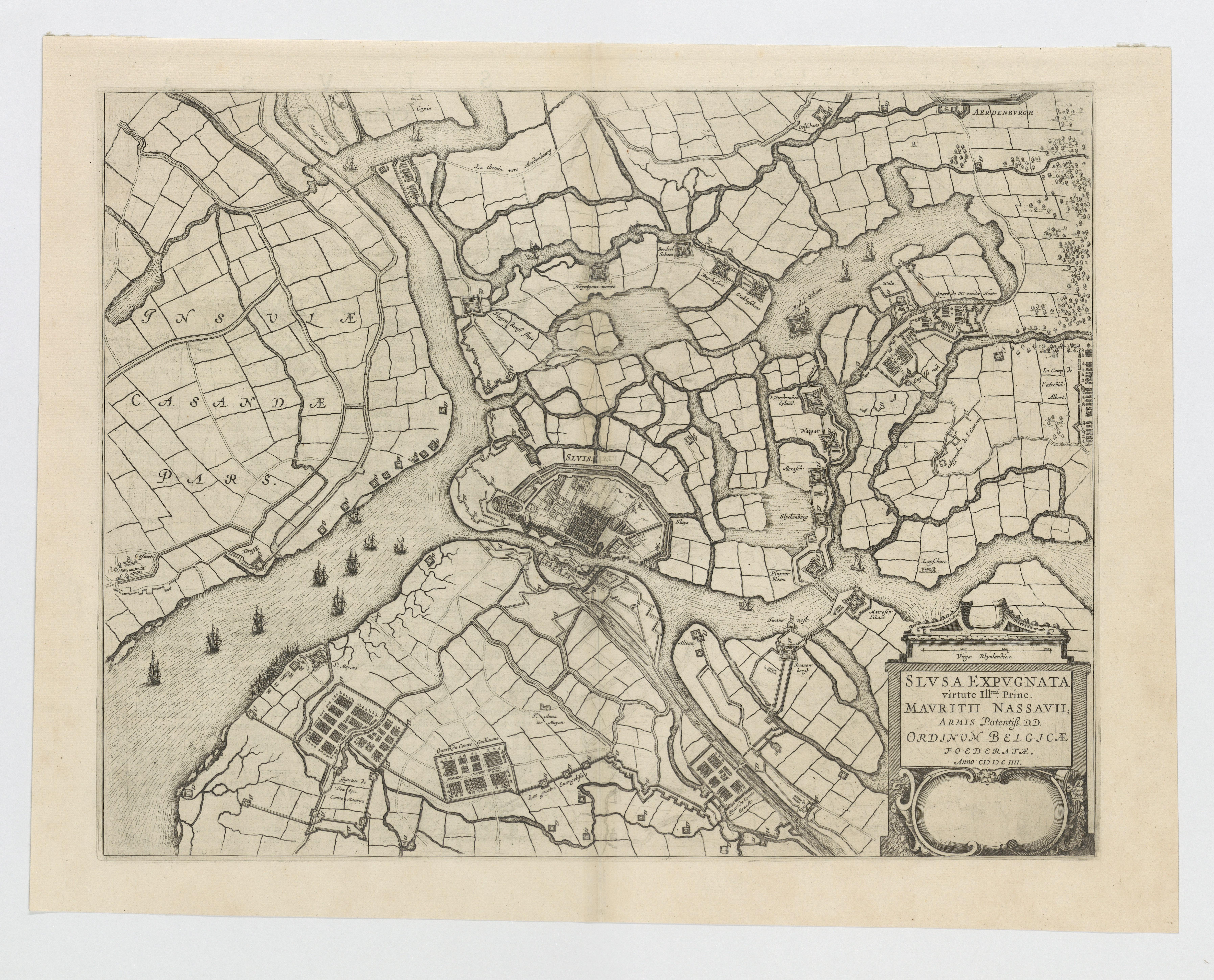
Slusa expugnata virtute Illustrissimi princ. Mauritii Nassauii... anno 1604
JPG file - 6.37 MB - 7 180 x 5 795 pixels
Extra information
FileName: 118445.jpg
FileDateTime: 1481628711
FileSize: 6373699
FileType: 2
MimeType: image/jpeg
SectionsFound: ANY_TAG, IFD0, COMMENT, EXIF
COMPUTED.html: width="7180" height="5795"
COMPUTED.Height: 5795
COMPUTED.Width: 7180
COMPUTED.IsColor: 1
COMPUTED.ByteOrderMotorola: 1
DocumentName: N:\VLIZ_26-5-2016\VLIZ_02\VLIZ_02_0005.tif
Model: Book2net Hornet
Orientation: 1
XResolution: 600/1
YResolution: 600/1
ResolutionUnit: 2
PageNumber.0: 0
PageNumber.1: 1
Software: Microsoft Windows Photo Viewer 6.1.7600.16385
DateTime: 2016:07:14 14:23:18
Artist: Business Graphics Datentechnik GmbH
YCbCrPositioning: 1
Exif_IFD_Pointer: 2408
COMMENT.0: CREATOR: gd-jpeg v1.0 (using IJG JPEG v90), default quality
ExifVersion: 0230
ComponentsConfiguration: ���
FlashPixVersion: 0100
ColorSpace: 65535