Skip to main content
NL
EN
Home
About
Tutorial
Image library
»
2. Historical maps 17th century
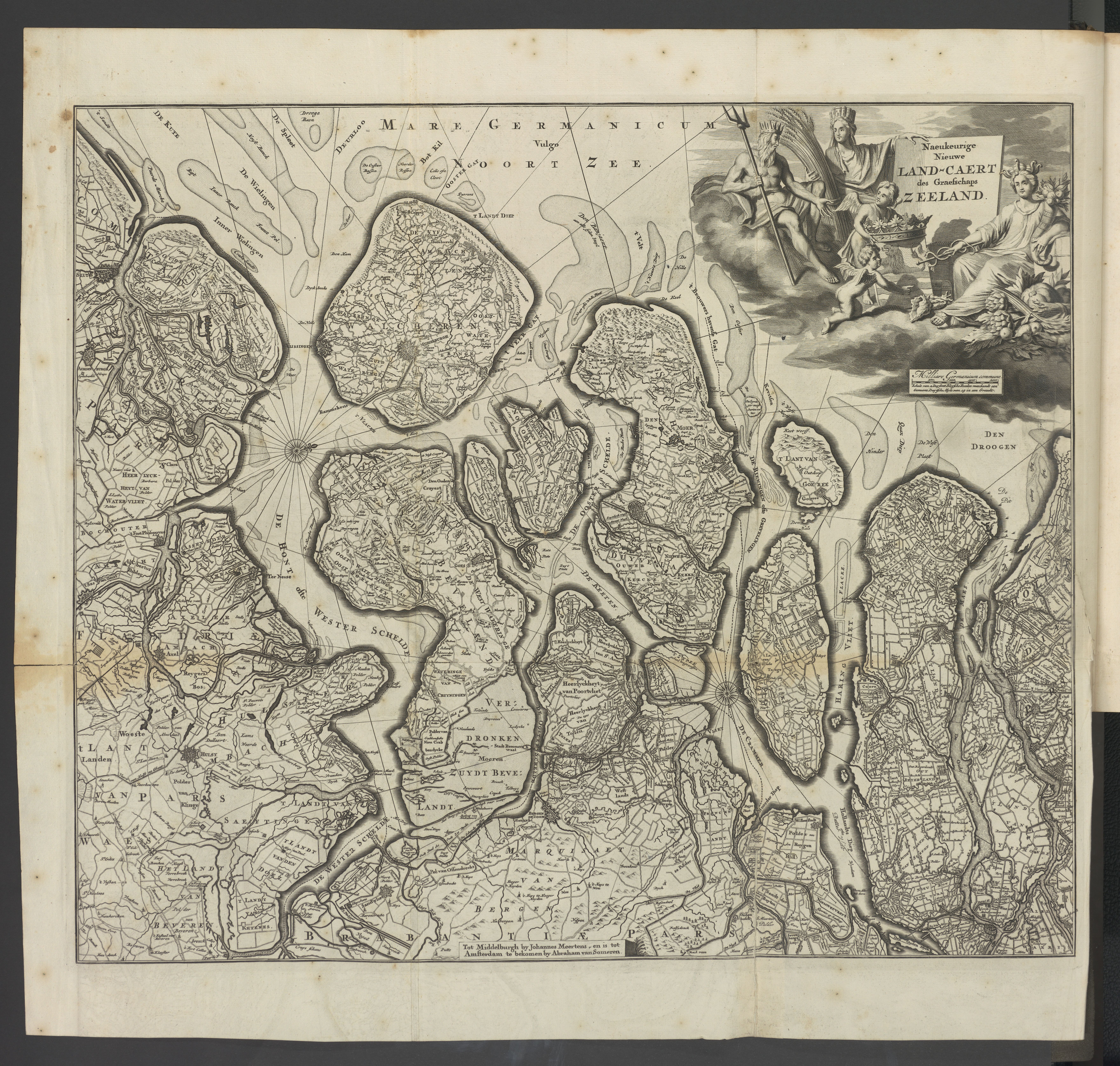
Naeukeurige nieuwe land-caert des graefschaps Zeeland
Description
Historical maps from the collection of Cultuurbibliotheek (Sint-Lodewijkscollege, Brugge), which were scanned by VLIZ in the framework of the project 'Historical maps of the coastal zone'.
Author
Meertens, Joannes (drukker) (1696)
JPG file
- 10.05 MB
- 7 049 x 6 710 pixels
added on 2016-12-13
189 views
Image owner
Cultuurbibliotheek
Download full size
© 2016 Cultuurbibliotheek
Click
here
to return to the thumbnails overview
Scroll To Top

 © 2016 Cultuurbibliotheek