Skip to main content
NL
EN
Home
About
Tutorial
Image library
»
4. Historical maps 19th century
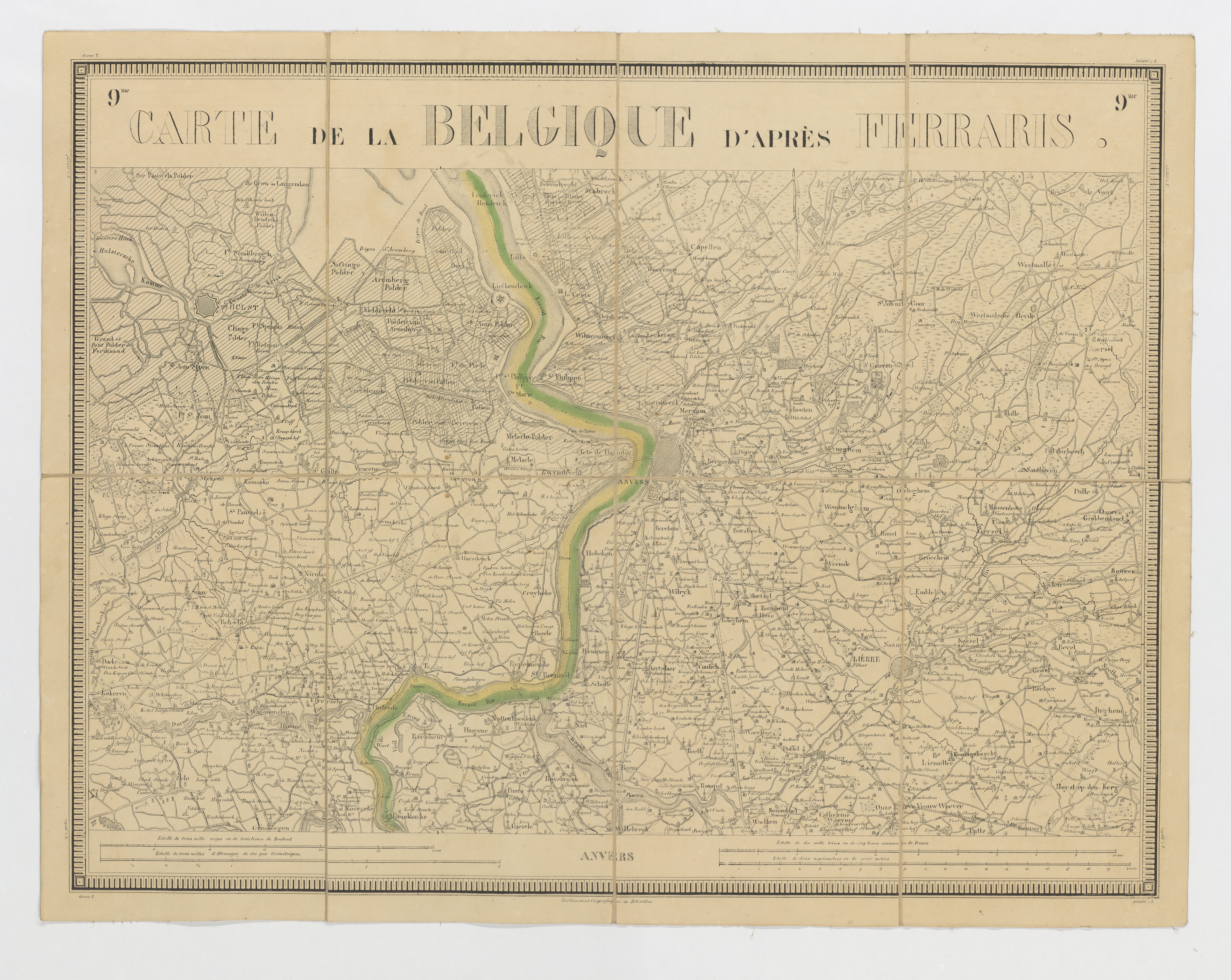
Carte de la Belgique d'après Ferraris, augmentée des plans des six villes principales et de l'indication des routes, canaux et autres traveaux exécutés depuis 1777 jusqu'en 1831. 42 feuilles. I - Anvers
Description
Historical maps from the collection of Cultuurbibliotheek (Sint-Lodewijkscollege, Brugge), which were scanned by VLIZ in the framework of the project 'Historical maps of the coastal zone'.
Author
Ferraris, Joseph Jean François (de) (1831)
JPG file
- 8.68 MB
- 8 184 x 6 513 pixels
added on 2016-12-13
300 views
Image owner
Cultuurbibliotheek
Download full size
© 2016 Cultuurbibliotheek
Click
here
to return to the thumbnails overview
Scroll To Top