Image library | Historical Maps Coastal Zone
Add an imageAdd albumRSS

» 4. Historical maps 19th century
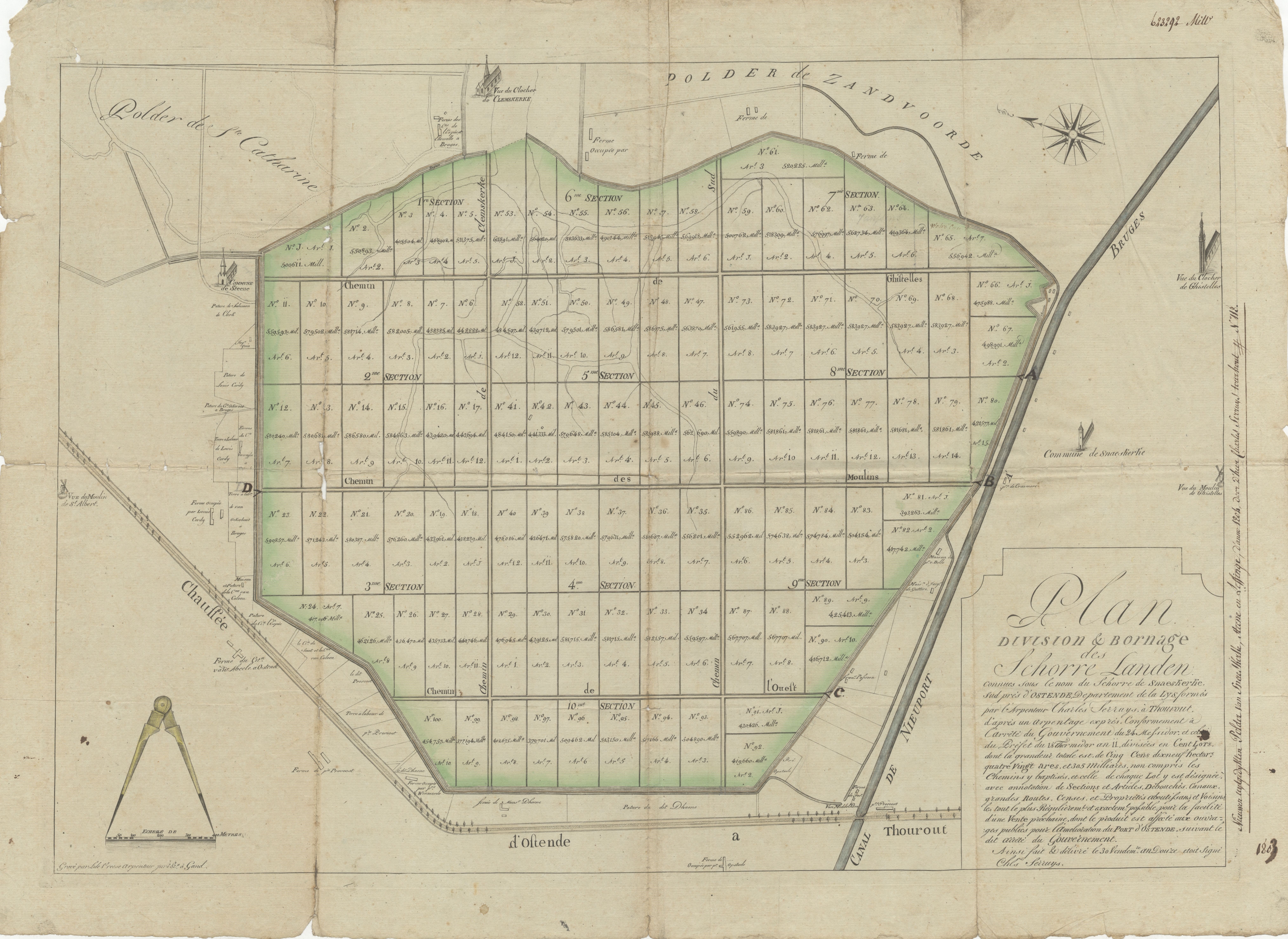
Plan division & bornage des schorre landen (Snaeskerke)
Description Historical maps from the collection of the Provincial Archive West Flanders (PAWV) (Brugge) which can be used in the framework of the project 'Historical maps of the coastal zone'. Author Serruys, Chls. (1803) JPG file - 8.60 MB - 8 115 x 5 915 pixelsmore
Extra information
FileName: 119210.jpg
FileDateTime: 1484303885
FileSize: 8597004
FileType: 2
MimeType: image/jpeg
SectionsFound: ANY_TAG, IFD0, EXIF
COMPUTED.html: width="8115" height="5915"
COMPUTED.Height: 5915
COMPUTED.Width: 8115
COMPUTED.IsColor: 1
COMPUTED.ByteOrderMotorola: 1
Orientation: 1
Software: Microsoft Windows Photo Viewer 6.1.7600.16385
DateTime: 2017:01:06 14:58:28
Exif_IFD_Pointer: 2200
added on 2017-01-13134 viewsImage owner Provincie West-Vlaanderen; Archiefdienst Download full sizeDownload full size © 2017 Provincie West-Vlaanderen; Archiefdienst
Click here to return to the thumbnails overview