Skip to main content
NL
EN
Home
About
Tutorial
Image library
»
4. Historical maps 19th century
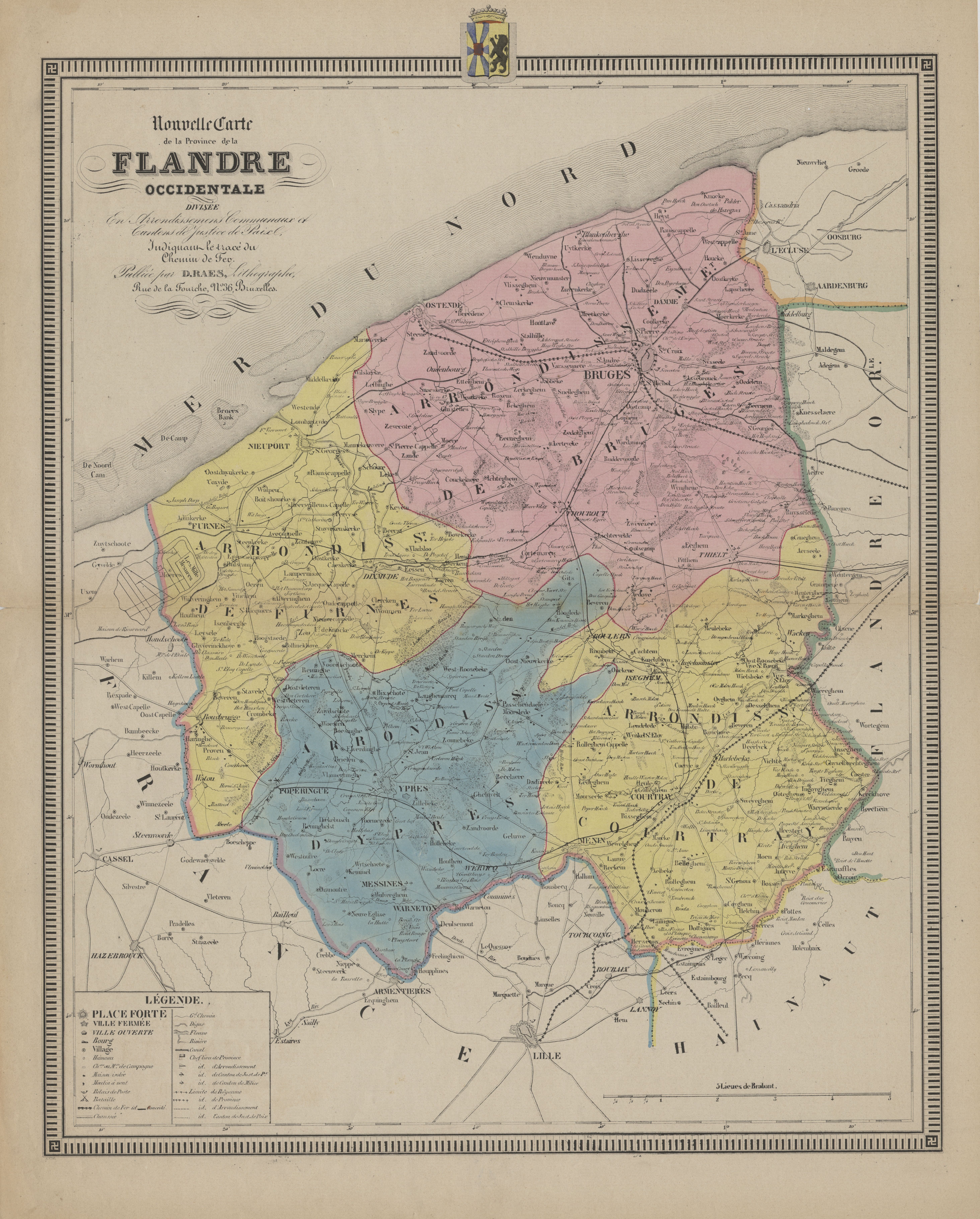
Nouvelle carte de la Province de la Flandre Occidentale divisée en Arrondissemens, Communaux et Cantons de Justice de Paix, indiquant le tracé du Chemin de Fer. Kaart van de Provincie West-Vlaanderen.
Description
Historical maps from the collection of the Provincial Archive West Flanders (
PAWV
) (Brugge) which can be used in the framework of the project 'Historical maps of the coastal zone'.
Author
Raes, D. (1840)
JPG file
- 6.53 MB
- 5 853 x 7 280 pixels
added on 2017-01-13
310 views
Image owner
Provincie West-Vlaanderen; Archiefdienst
Download full size
© 2017 Provincie West-Vlaanderen; Archiefdienst
Click
here
to return to the thumbnails overview
Scroll To Top