Skip to main content
NL
EN
Home
About
Tutorial
Image library
»
6. Geometric accuracy maps
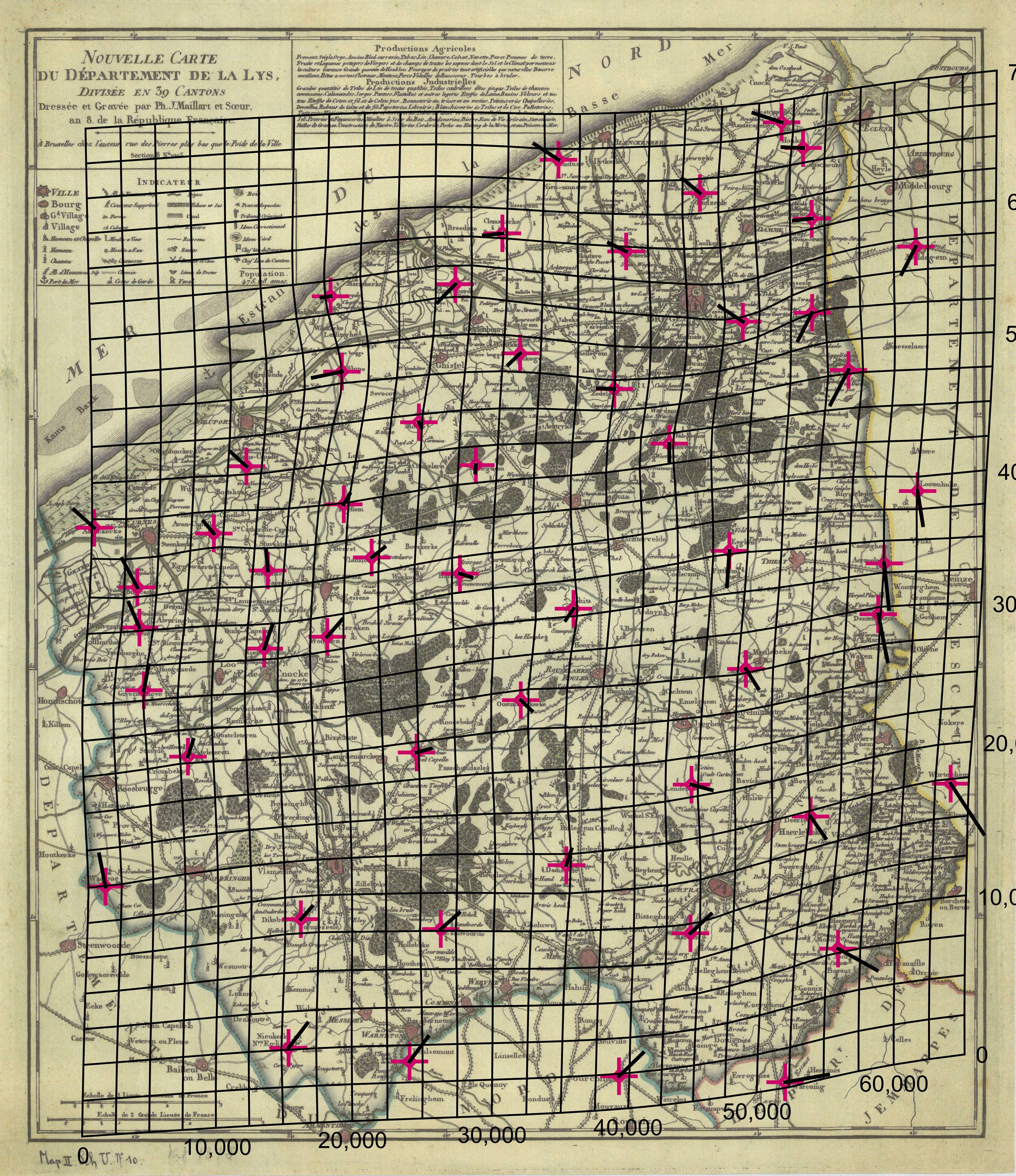
Nouvelle carte du département de la Lys divisée en 39 cantons. Kaart Leiedepartement.
Description
The distortion grid and the displacement vectors provide a representation of the geometric accuracy of the map and were generated using MapAnalyst (
Jenny & Hurni 2011
).
Author
J. Maillart et Soeur (1799)
JPG file
- 6.17 MB
- 5 000 x 5 786 pixels
added on 2017-01-18
574 views
Map based on
Jenny, B.; Hurni, L. (2011). Studying cartographic herita...
Download full size
This work is licensed under a
Creative Commons Attribution-NonCommercial-ShareAlike 4.0 International
License
Click
here
to return to the thumbnails overview
Scroll To Top