Skip to main content
NL
EN
Home
About
Tutorial
Image library
»
6. Geometric accuracy maps
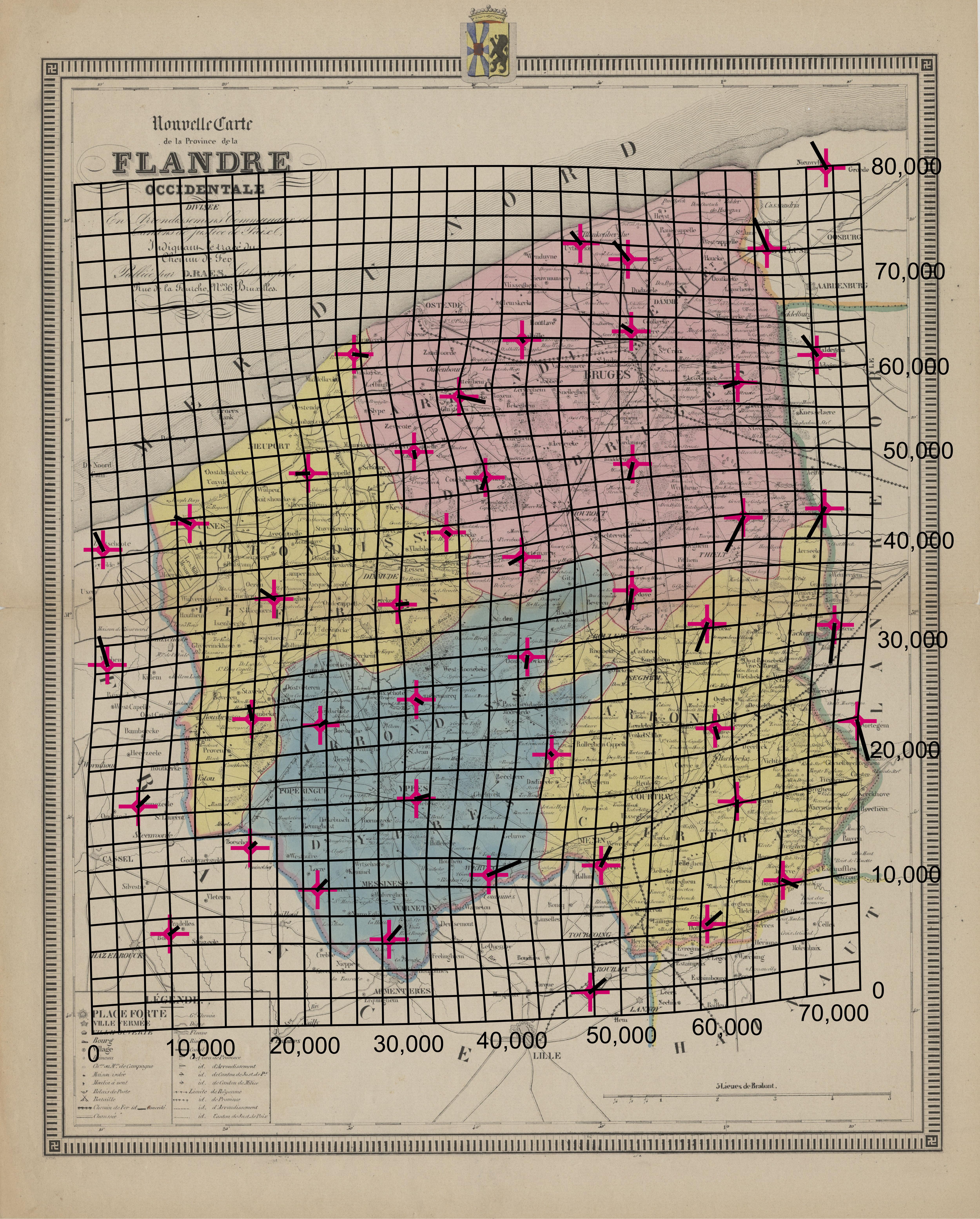
Nouvelle carte de la Province de la Flandre Occidentale divisée en Arrondissemens, Communaux et Cantons de Justice de Paix, indiquant le tracé du Chemin de Fer. Kaart van de Provincie West-Vlaanderen.
Description
The distortion grid and the displacement vectors provide a representation of the geometric accuracy of the map and were generated using MapAnalyst (
Jenny & Hurni 2011
).
Author
D. Raes (1840)
JPG file
- 4.76 MB
- 5 000 x 6 220 pixels
added on 2017-01-18
590 views
Map based on
Jenny, B.; Hurni, L. (2011). Studying cartographic herita...
Download full size
This work is licensed under a
Creative Commons Attribution-NonCommercial-ShareAlike 4.0 International
License
Click
here
to return to the thumbnails overview
Scroll To Top